The river of Phochhu & Mochhu originate from the glaciated terrain of the great Himalayan range, rising at an altitude of ±7,000 masl in Gasa Dzongkhag (District) of Bhutan, fed by snow/glacial lakes. The rivers Phochhu and Mochhu confluences at an altitude of ±1,200 masl at Punakha to form the Punatsangchhu river which flows southerly to enter the Indian plains of West Bengal. The Punatsangchhu river eventually draws into the Brahmaputra.

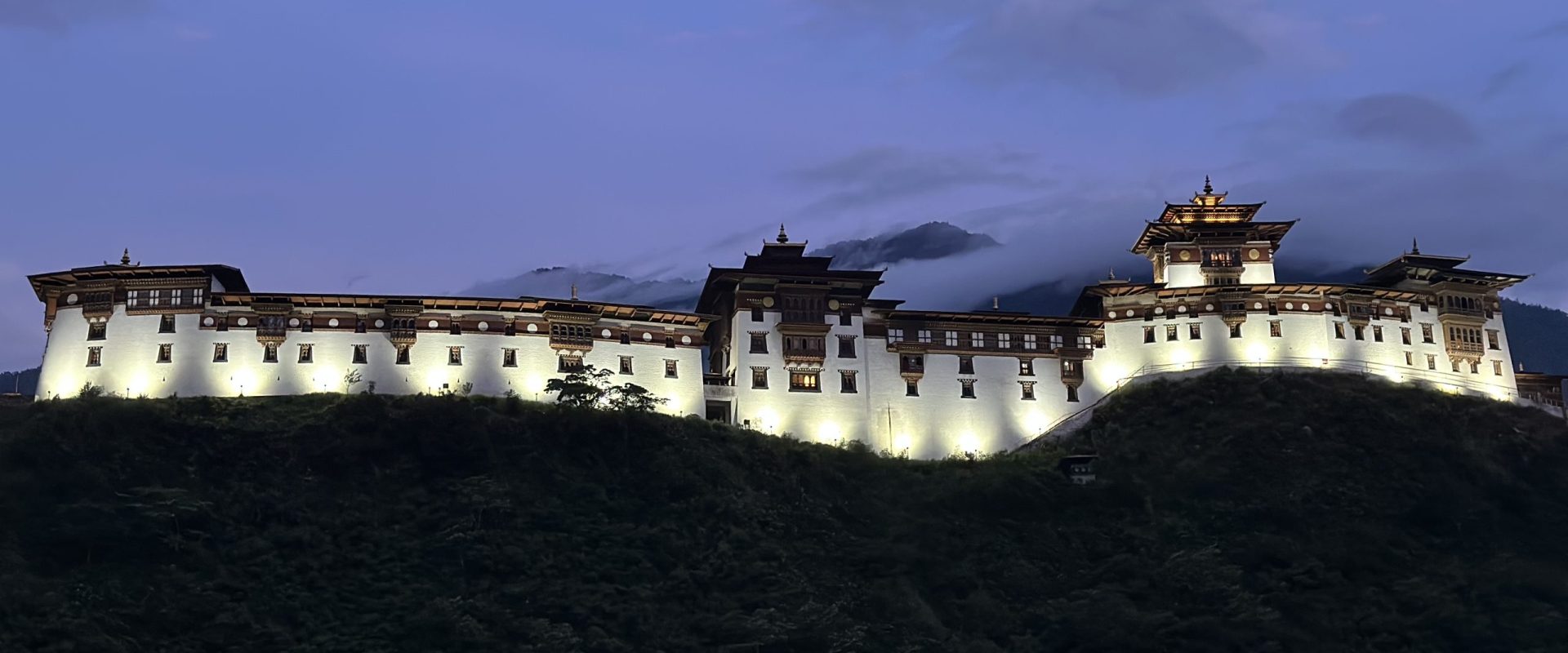
Confluence of Phochhu and Mochhu river near Punakha Dzong
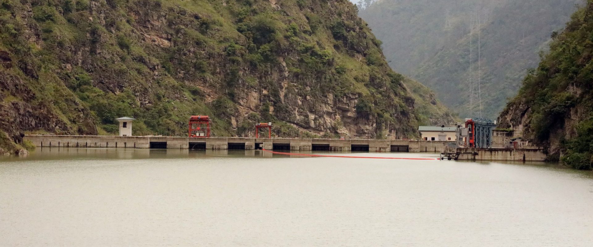
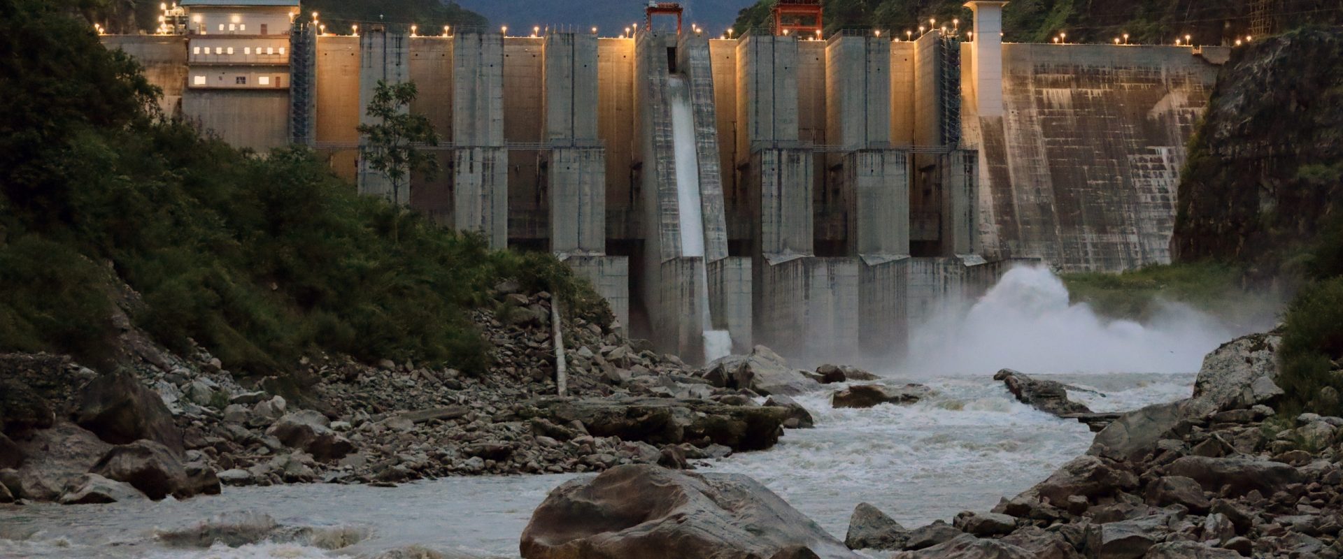
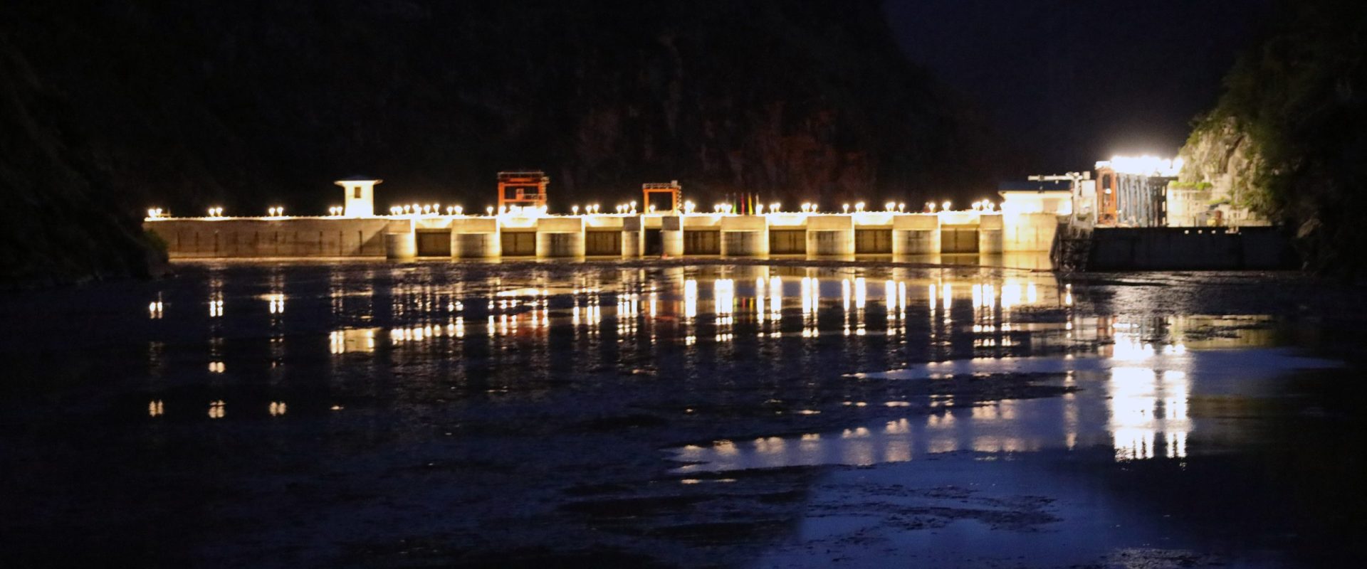
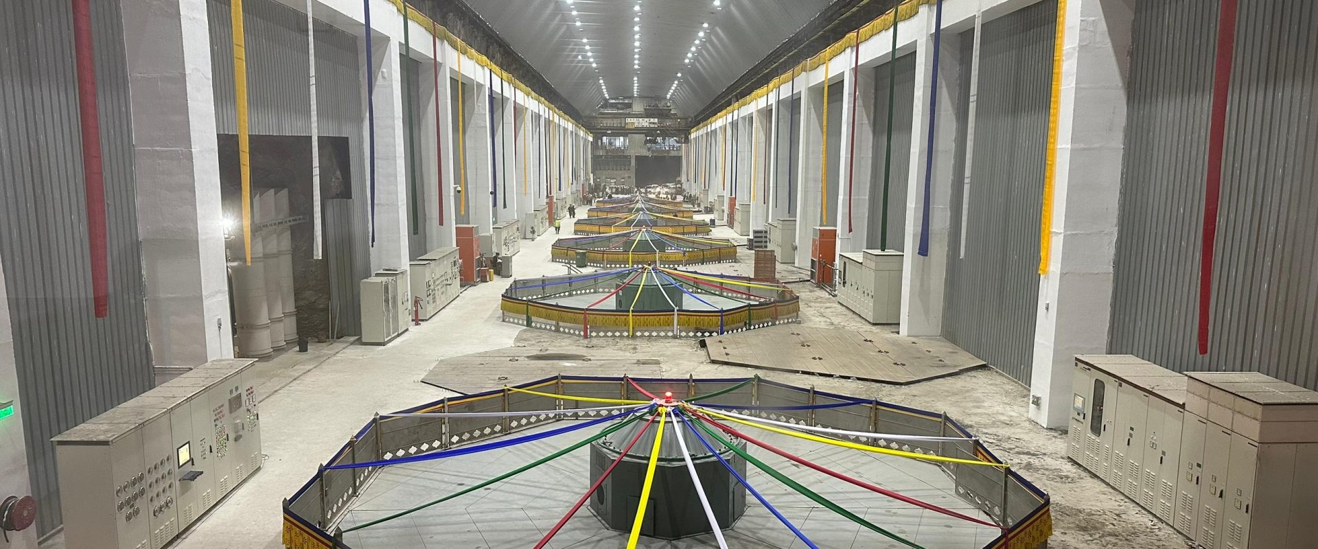
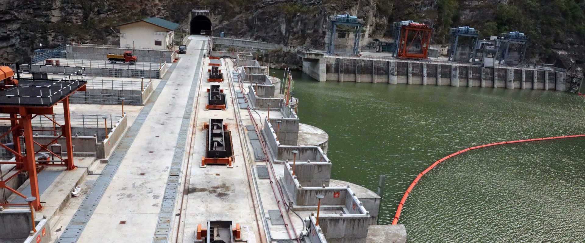
The diversion Dam of run-of-the-river 1,020 MW Punatsangchhu-II Hydroelectric Project (PHEP-II) is located about 20 km downstream of Wangduephodrang Bridge. All other project components are situated on the right bank. It’s underground Power House is 15 km downstream of Dam at Kamechu, Dagar Gewog.
PHPA-II is an autonomous body set up for the implementation of the mega Project by the two Governments of Bhutan and India.
A Technical Coordination Committee (TCC) comprising members from Royal Government of Bhutan and Government of India has been set up by the Authority for effective coordination between the management, consultants and concerned technical experts/agencies, to make timely recommendations/decisions on important/crucial technical matters.
___________________________________________________________________________________________________


